7 Free Open Data Sources to Check Planning Constraints in England
A guide to the best free government open data sources for checking planning constraints on any site in England — and how to search them all at once.
Skip the manual research — PlanningConstraints.com searches all of these sources in one click. Enter a postcode and get instant results from every dataset below.
Checking planning constraints used to mean trawling through multiple government websites, each with its own map interface and search quirks. Today, open data makes it possible to access all of this information for free — if you know where to look.
Here are the 7 key open data sources that matter for planning constraints in England, what each one covers, and how to use them.
1. Planning Data (planning.data.gov.uk)
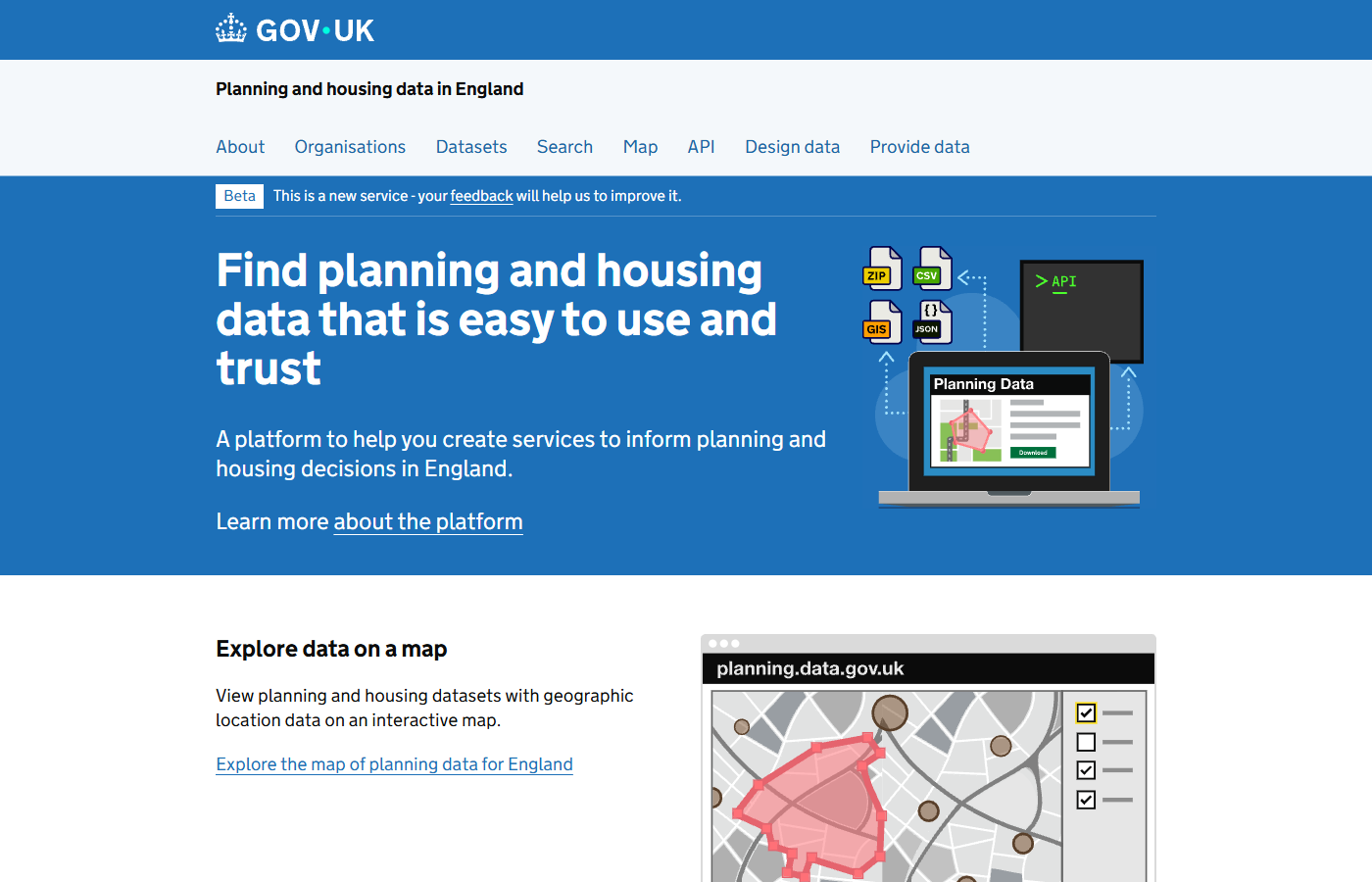
The planning.data.gov.uk platform provides open access to planning and housing datasets across England.
What it covers: Conservation areas, green belt, tree preservation orders, Article 4 directions, local authority boundaries, brownfield registers, and dozens of other local planning datasets.
Who runs it: The Ministry of Housing, Communities and Local Government (MHCLG).
This is the single most comprehensive open data platform for planning constraints. Local planning authorities publish their spatial data here in a standardised format, making it possible to query constraints across council boundaries.
The data is available through a public API and an interactive map, both free to use.
Limitation: Coverage depends on councils publishing their data. Some constraint types have better coverage than others.
2. Historic England — National Heritage List
What it covers: Listed buildings (Grade I, II*, and II), scheduled monuments, registered parks and gardens, registered battlefields, and World Heritage Sites.
Who runs it: Historic England.
The National Heritage List for England is the definitive source for heritage designations. You can search by address, map area, or list entry number. Each record includes a detailed description of why the asset is listed and its exact location.
Heritage constraints are among the most impactful on development — altering a listed building without consent is a criminal offence.
3. Environment Agency — Flood Map for Planning
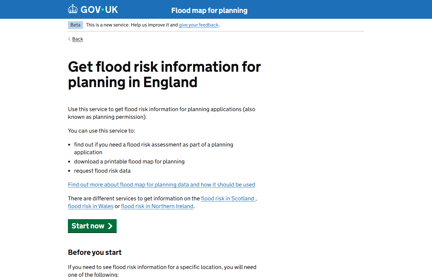
The Environment Agency's Flood Map for Planning — a free GOV.UK service for checking flood zone classifications.
What it covers: Flood Zone 2 (medium probability), Flood Zone 3 (high probability), flood defences, and areas benefiting from flood defences.
Who runs it: The Environment Agency.
Flood zone data is critical for any site near a river, coast, or area with historical flooding. If a site is in Flood Zone 2 or 3, you will need a flood risk assessment and may need to apply the Sequential Test to justify why the development should be in a flood risk area.
The flood map is available as both a web viewer and downloadable spatial data.
4. Natural England — MAGIC Map
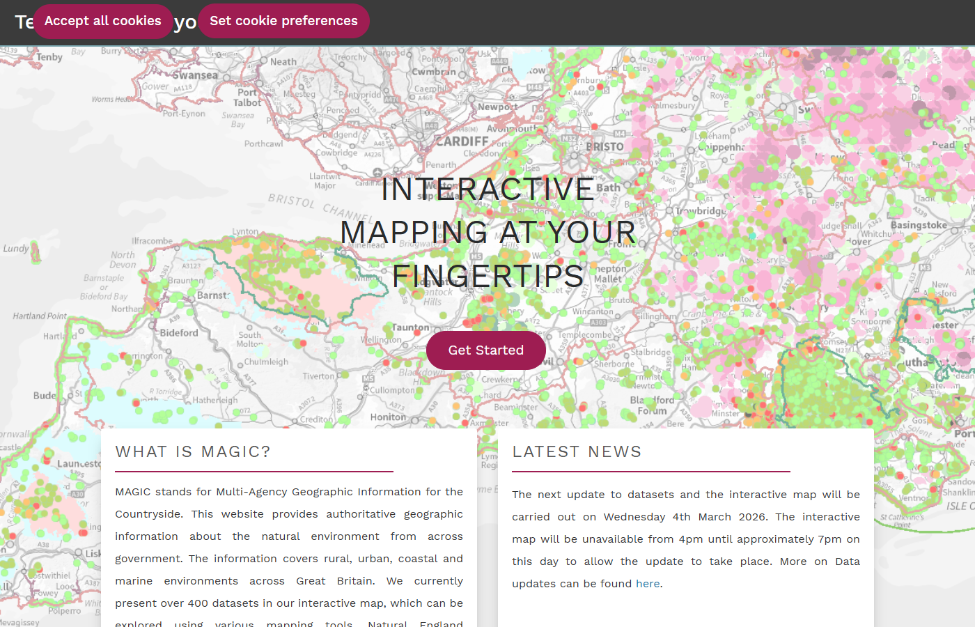
MAGIC (Multi-Agency Geographic Information for the Countryside) shows environmental designations including SSSIs, AONBs, and ancient woodland.
What it covers: Sites of Special Scientific Interest (SSSIs), Areas of Outstanding Natural Beauty (AONBs / National Landscapes), ancient woodland, Special Areas of Conservation (SACs), Special Protection Areas (SPAs), Ramsar sites, and National Nature Reserves.
Who runs it: Natural England and Defra.
MAGIC (Multi-Agency Geographic Information for the Countryside) is a web-based mapping tool that brings together environmental data from across government. It is the go-to source for ecological and landscape designations.
For development near SSSIs or ancient woodland, you will typically need an ecological impact assessment.
5. Ordnance Survey — Open Data Products
What it covers: Boundary lines (administrative, parliamentary, electoral), terrain data, road networks, and place names.
Who runs it: Ordnance Survey.
While not a direct constraint source, OS open data provides essential context. Knowing which local authority, parish, and ward a site falls within tells you which Local Plan policies apply and which planning department will determine your application.
OS open data products are free under the Open Government Licence.
6. Coal Authority — Interactive Map Viewer
What it covers: Development high risk areas, coal mining features, mine entries, shallow coal workings, and past and current mining activity.
Who runs it: The Coal Authority.
If a site is in a development high risk area for coal mining, a Coal Mining Risk Assessment is required before planning permission can be granted. This is relevant across much of central and northern England, South Wales, and parts of Scotland.
The interactive viewer is free to use. Formal reports for individual properties are available at a fee.
7. Land Registry — Price Paid Data and INSPIRE Index Polygons
What it covers: Property transaction history and registered title extents (boundary polygons).
Who runs it: HM Land Registry.
Land Registry open data can help you understand site boundaries and ownership patterns. The INSPIRE Index Polygons dataset shows the geographic extent of every registered title in England and Wales.
While this doesn't directly reveal planning constraints, understanding title boundaries is essential for working out which constraints affect which parts of a site.
How to search them all at once
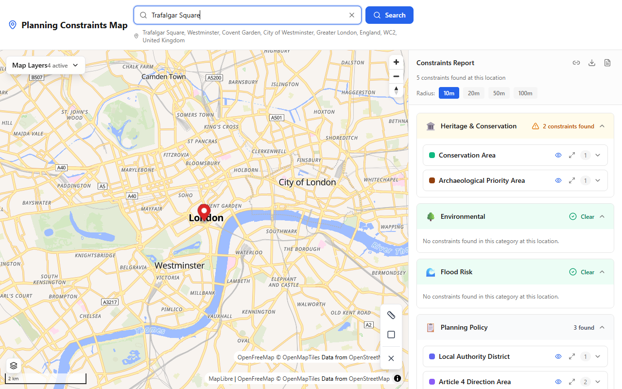
PlanningConstraints.com queries multiple government APIs in one search and presents the results on an interactive map.
Each of these sources has its own search interface, map viewer, and data format. Checking all of them individually for a single site can take an hour or more.
PlanningConstraints.com queries the most important of these datasets automatically. Enter a postcode or click on the map and you get results from planning.data.gov.uk, Historic England, Natural England, and the Environment Agency in seconds — grouped by category, with boundaries drawn on an interactive map.
It is free, requires no signup, and works on any device.
Survey your own site — free
See every planning constraint at any UK address in seconds: conservation areas, listed buildings, flood zones, Article 4 and 30+ more. Need it on paper? The Full Survey Report with plain-English guidance is £9.99.