6 Government Websites Every Property Developer Should Bookmark
The essential free government data websites for checking planning constraints, environmental designations, flood risk, and heritage status on development sites in England.
Or search them all at once — PlanningConstraints.com queries the key government APIs in one click and shows you every constraint for any location. Free, instant, no sign-up.
If you work in property development, you already know that the first question for any site is: what are the constraints? The answer is buried across multiple government websites, each with its own data, search tools, and quirks.
Here are the 6 government websites you should know about, what each one gives you, and when to use it.
1. planning.data.gov.uk
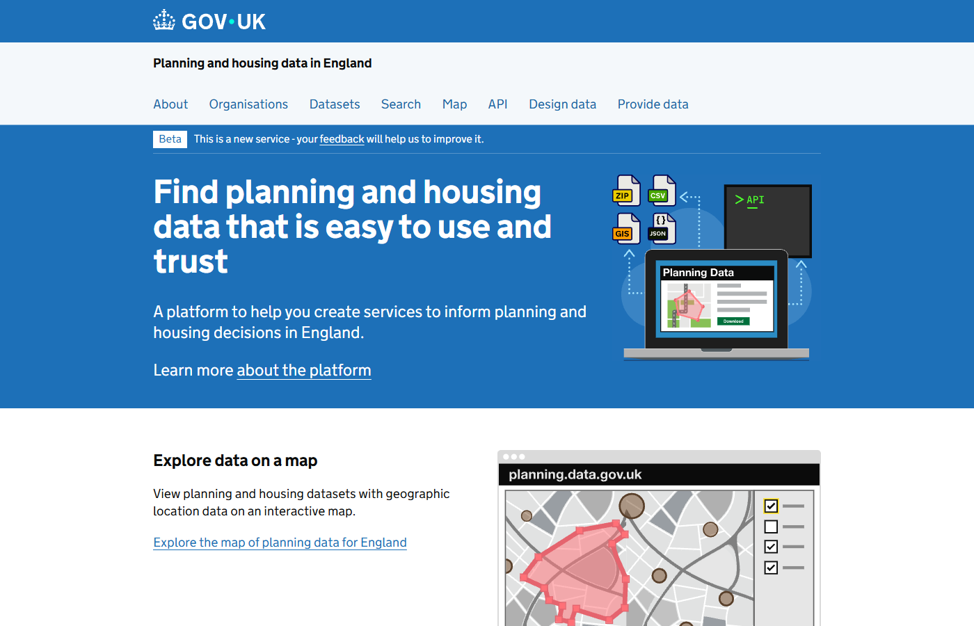
planning.data.gov.uk — the national platform for open planning and housing data in England.
Run by: Ministry of Housing, Communities and Local Government (MHCLG)
What you get: Conservation areas, green belt boundaries, tree preservation orders, Article 4 directions, brownfield land registers, local authority boundaries, and over 40 other planning datasets.
Why it matters: This is the national platform for standardised planning data. Local authorities publish their constraint data here, meaning you can search across council boundaries without visiting each council's website individually.
Best for: Checking policy-related constraints like conservation areas, green belt, and Article 4 directions at the early feasibility stage.
Tip: The data coverage varies by council. Some constraint types (like conservation areas) have near-complete national coverage, while others (like locally listed buildings) are still patchy.
2. Historic England — National Heritage List for England
Run by: Historic England
What you get: Every listed building (Grade I, II*, II), scheduled monument, registered park and garden, registered battlefield, and World Heritage Site in England.
Why it matters: Heritage designations are among the most impactful constraints. A listed building cannot be altered without consent. A scheduled monument cannot be disturbed without separate government approval. Development near either will face heightened scrutiny.
Best for: Confirming the exact grade and extent of heritage assets on or near a site. The detailed listing descriptions are essential reading for any heritage impact assessment.
3. Environment Agency — Flood Map for Planning
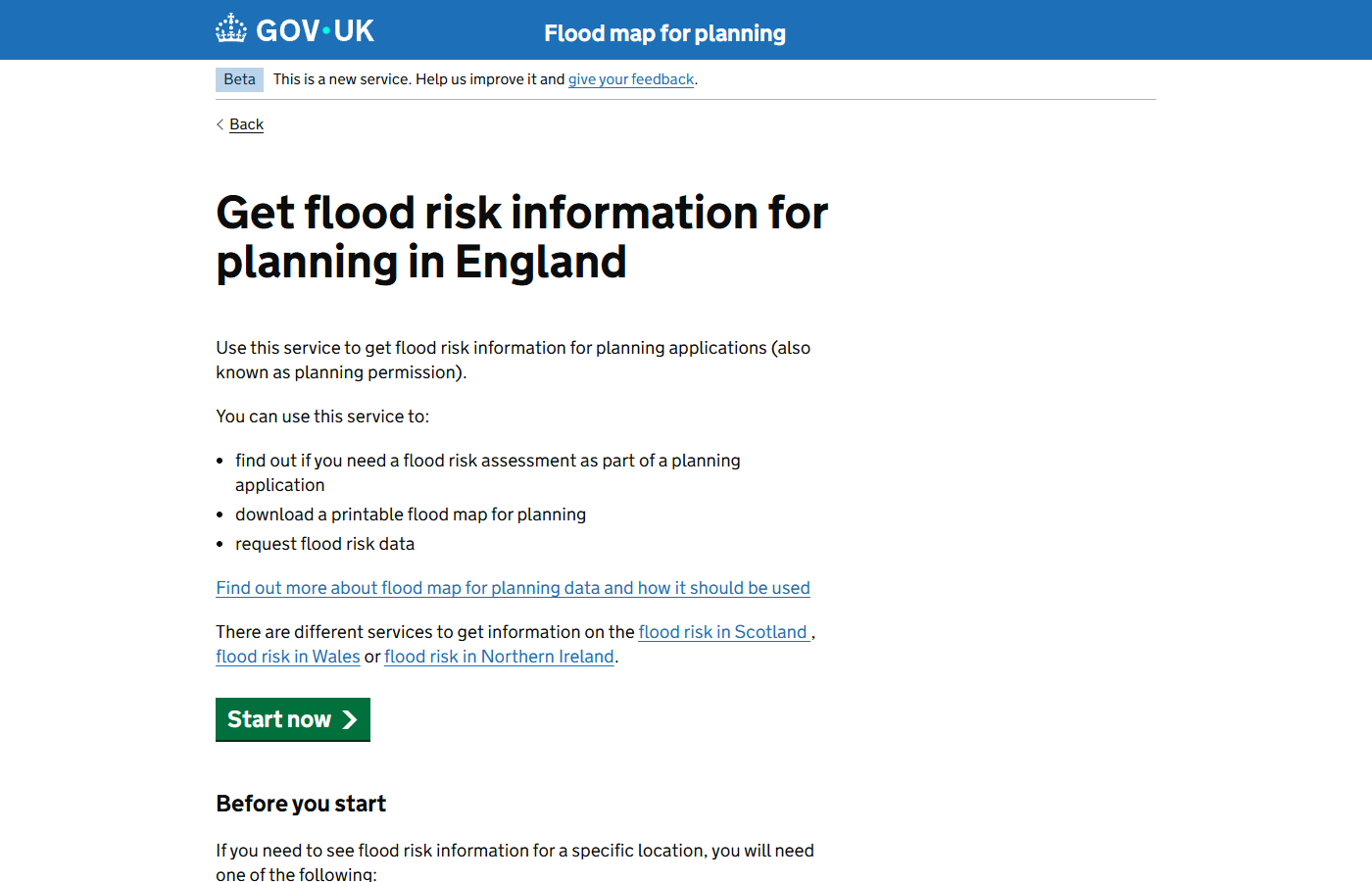
The Flood Map for Planning — a free GOV.UK service for checking flood zone classifications on any site.
Run by: Environment Agency
What you get: Flood Zone 2 (medium probability) and Flood Zone 3 (high probability) boundaries, flood defences, and areas benefiting from defences.
Why it matters: Flood zone classification directly determines whether you need a flood risk assessment and whether the Sequential Test applies. Sites in Flood Zone 3 are the hardest to develop — residential development will typically need to pass the Exception Test as well.
Best for: Immediate go/no-go decisions on sites near rivers or coasts. If a site is entirely in Flood Zone 3 with no defences, the viability of residential development is questionable from the outset.
4. Natural England — MAGIC Map
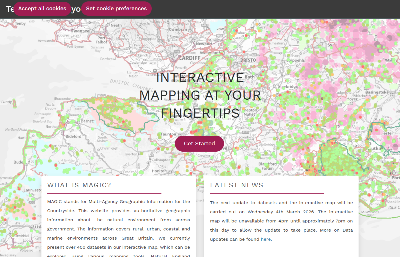
MAGIC Map — an interactive viewer showing SSSIs, AONBs, ancient woodland, and other environmental designations across England.
Run by: Natural England / Defra
What you get: SSSIs, AONBs (National Landscapes), ancient woodland, Special Areas of Conservation, Special Protection Areas, Ramsar sites, National Nature Reserves, priority habitats, and more.
Why it matters: Ecological and landscape constraints can be deal-breakers. Development within or affecting a SSSI requires Natural England consultation. Ancient woodland is effectively irreplaceable — there is a strong presumption against any development that would result in its loss or deterioration.
Best for: Screening for ecological showstoppers before commissioning a full ecological survey. MAGIC also has agricultural land classification data, which is useful for sites on the edge of settlements.
5. Coal Authority — Interactive Map Viewer
Run by: The Coal Authority
What you get: Development high risk areas for coal mining, mine entries, shallow coal workings, geological faults, and past mining activity.
Why it matters: In coalfield areas (much of the Midlands, North, and parts of the South West), a Coal Mining Risk Assessment is a validation requirement for planning applications. Sites directly over mine entries or shallow workings may need stabilisation works that significantly affect project costs.
Best for: Early cost assessment on sites in coalfield regions. If the interactive viewer shows a development high risk area, factor in the cost of a mining report and potential ground stabilisation.
6. GOV.UK — Find your Local Planning Authority
Run by: MHCLG / GOV.UK
What you get: Confirmation of which local planning authority covers your site, links to the relevant Local Plan and policies map, and the council's planning department contact details.
Why it matters: Planning policy is set at the local level. The Local Plan, neighbourhood plans, and supplementary planning documents all vary by authority. Knowing which LPA covers your site is the starting point for understanding the policy framework that will determine your application.
Best for: Confirming jurisdiction (especially near council boundaries) and finding the up-to-date Local Plan and policies map for detailed policy research.
Search all the key sources in one go
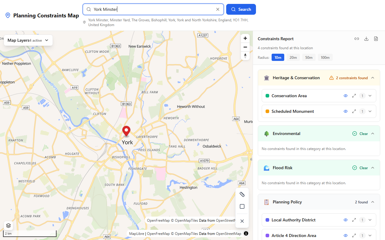
PlanningConstraints.com queries the key government APIs and presents constraint results on an interactive map.
Checking each of these websites individually works, but it is slow. For a typical site appraisal, you might spend 30 minutes to an hour pulling together results from four or five different sources.
PlanningConstraints.com does this in seconds. It queries the key datasets from planning.data.gov.uk, Historic England, Natural England, and the Environment Agency and presents the results on a single interactive map with a structured report.
It is free, requires no account, and the data comes directly from the same official APIs you would be checking manually.
Survey your own site — free
See every planning constraint at any UK address in seconds: conservation areas, listed buildings, flood zones, Article 4 and 30+ more. Need it on paper? The Full Survey Report with plain-English guidance is £9.99.